26 January 2023
How to improve public acceptance of our infrastructure (OIC 2017)
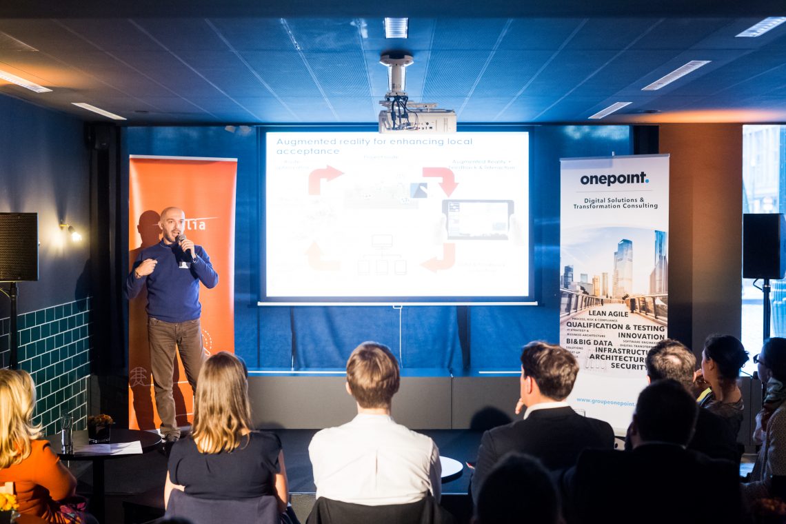
In 2016, Elia first organised the Start-Up/Open Innovation Challenge in order to identify start-ups that are proposing tools to enhance public acceptance of infrastructure projects. The contest was won by Gilytics, a Zurich-based start-up.
Approach
Gilytics provides an interactive platform to improve public participation in planning new projects with 3D visualisation and augmented reality.
The tool provides a set of functions for identifying the optimal route for power lines, including the possible position of masts.
It allows interactive participation by all stakeholders involved in the planning process in order to find a common sustainable agreement.
The process is quite straightforward:
- identify all data types that will contribute to the route definition: technical constraints, geology, habitat, nature protected zones, existing infrastructure, etc.
- integrate the digitised version of these data and allocate them respective weights (e.g. avoidance of high population density areas or of schools) in the tool
- allow the tool to compute the optimal route based on these constraints
- visualise these results e.g. using Google Earth
Results
The platform is a good assistant to help Elia in defining routes for its new infrastructure. It might also be used to engage dialogue with relevant stakeholders and public to visualise and understand the constraints.
The tool was tested internally on a new line project. Following discussions with relevant departments, over 80 layers of data were identified.


